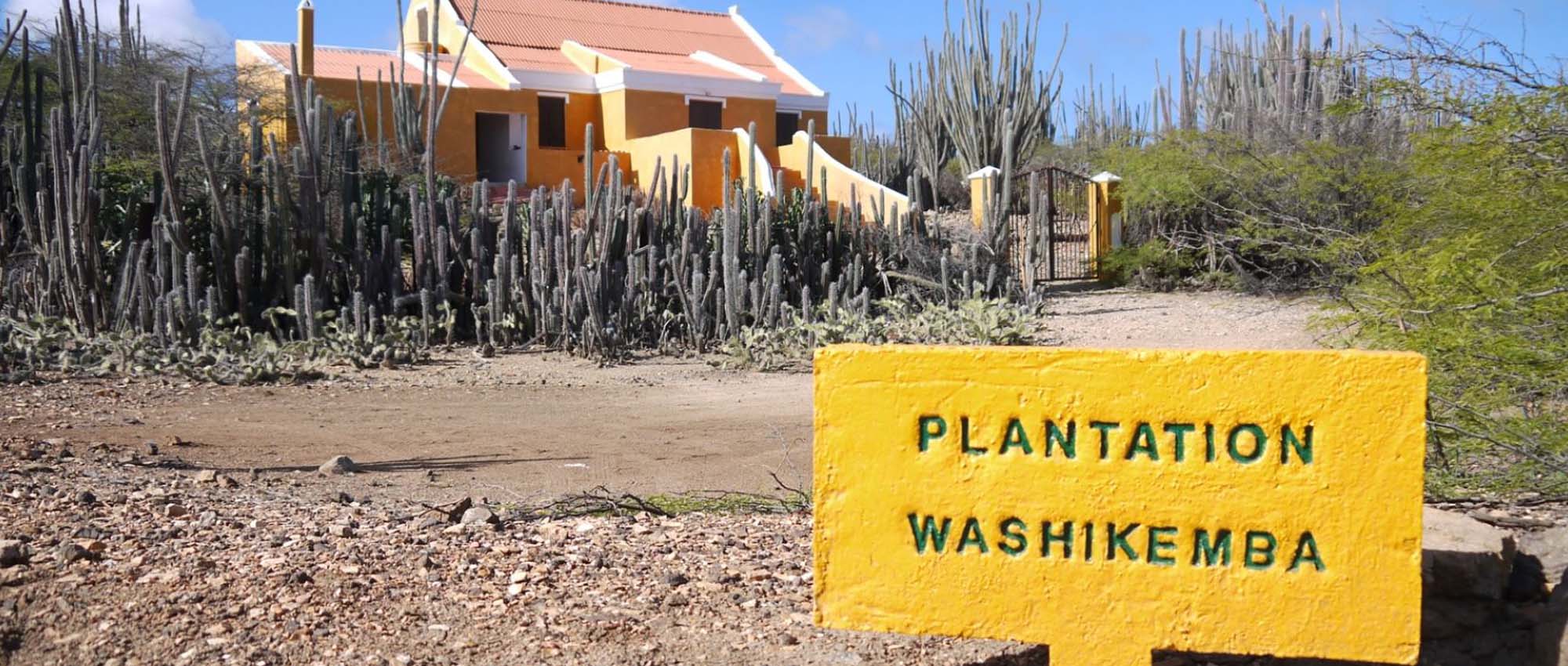
Bara Di Karta

From the Bara di Karta water well starts the hiking route in the west direction. The first approximately 150 meters is composed of a slightly inclined ground. Be careful since the surface is relatively loose and good shoes are required. After the first 150 meters, the climb to the top begins. The top will be reached in about 10 minutes; from which a large part of the island can be observed. Kralendijk and Klein Bonaire can be seen to the west. On the east side you can see the airport, the salt pans, Lac mangroves, the rough east coast and in the distance the lighthouse Cave. Traditional kunuku landscape can be seen, with small-scale farms, the “kunuku” roads, dyke and windmills. The Bara di Karta consist of a biking, hiking and driving route.


